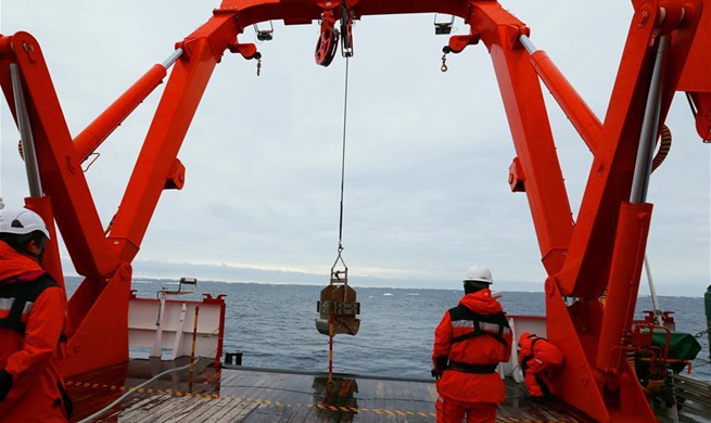
BEIJING, Dec. 10 (Xinhua) -- China has greatly improved its ability to observe the Earth from space with a series of high-resolution remote sensing satellites sent into orbit over the past nine years, according to the China National Space Administration (CNSA).
The satellites, belonging to China's high-resolution Earth observation project (Gaofen project) initiated in 2010, have formed a stable satellite remote sensing system, said Tong Xudong, chief designer of the project.
The project has increased the resolution of China's low-earth orbit remote sensing satellites from 2.1 meters to 0.65 meter, and the resolution of China's geostationary orbit remote sensing satellites improved from kilometer-level to 50 meters, Tong said.
The satellites, covering different observation bands, are deployed in different orbits, giving China a preliminary ability for all-weather and round-the-clock observation, said Tong.
Launched on April 26, 2013, Gaofen-1 can cover the globe in four days, with an observation ability of medium resolution and wide coverage.
Gaofen-2, sent into space on August 19, 2014, has two cameras with a resolution less than one meter, boosting China's civil-use remote sensing satellite to sub-meter level.
Gaofen-4, launched on Dec. 29, 2015, is China's first geosynchronous orbit high-definition optical imaging satellite.
Gaofen-3, launched on August 10, 2016, is China's first synthetic aperture radar imaging satellite.
Gaofen-5, launched on May 9, 2018, has a spectral resolution greater than 5 nanometers, and is the world's first satellite to realize hyperspectral comprehensive observation of land and atmosphere.
Gaofen-6, launched on June 2, 2018, has a similar function to Gaofen-1, but with better cameras, and can cover the globe in just two days.
Gaofen-7, launched on Nov. 3, 2019, is China's first civil-use optical transmission three-dimensional surveying and mapping satellite that reaches the sub-meter level.
The project has helped reduce China's dependence on foreign remote sensing satellite data, replacing almost 80 percent of foreign data, said Tong.
Data from the Gaofen satellites has been widely used in more than 20 industries across China.
The project has also promoted China's aerospace cooperation with countries including Russia, Brazil, Egypt and India, as well as international organizations, and helped serve countries participating in the Belt and Road Initiative.
CNSA recently announced it would make the 16-meter resolution data obtained by the Gaofen-1 and Gaofen-6 satellites available to global users.